Equipment at the Institute of Geophysics
Technical equipment
- Land seismic
Vibrator source ELVIS (P- und S-Wellen), 96-channel land streamer w. 1m geophone spacing, 4 Geoden.
Processing software: VISTA (Schlumberger)
Function: High-resolution subsurface imaging - Gleichstrom-Widerstandstomographie
GeoTOM, 100 Elektroden, max. Elektrodenabstand 4 m
Function: 2D-resistivity survey - Elektromagnetic
CMD-Explorer for simultaneous measurements in 3 depth
Function: 2D/3D-mapping of resistivity and magnetics (in-phase) - Georadar
SIR-3000 w.100 MHz,, 200 MHz und 300 MHz antenna
Function: High-resolution subsurface imaging - Magnetic
2 PPM (Geometrics)
Function: Mapping of total field anomalies - Marine and air gravimeter KSS31M
Function: Gravity measurement offshore and in the air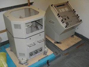
- Marine Magnetometer (Gradiometer) G 813 (GEOMETRICS)
Function: Magnetics measurements offshore with two sensors to avoid the effect of daily variations - Marine Magnetometer (Gradiometer) SeaSpy (Marine Magnetics)
Function: Magnetics measurements offshore with two sensors to avoid the effect of daily variations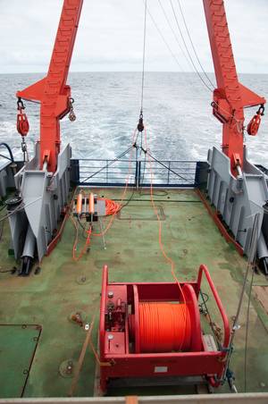
- Land Gravimeter LaCoste & Romberg G 260
Function: Gravity measurement on land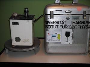
- Microprocessor-based Gravimeter CG 5 Autograv (Scintrex)
Function: Gravity measurement on land with an accuracy of 1 micro Gal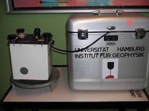
- Land Gravimeter WORDEN
Function: Gravity measurement on land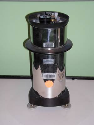
- Mikrogravimeter CG 5 (Scintrex)
Funktion: Schweremessungen an Land mit Genauigkeiten im MikroGal-Bereich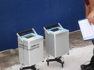
- Model Seismics
Function: simulation of seismic experiments on a small scale
- Georadar SIR-3000 with 100 MHz and 300 MHz antennas
Function: cartation of near-surface geologic structures
- Marine Reflection Seismics
600 m streamer, 150 m streamer, 1 watergun, 1 GI-Gun, 2 G-Gun
Function: investigation of the subsurface under the sea
- 9 Ocean Bottom Seismographs (OBS)
Function: registration of seismic events on the bottom of the sea floor
- Ocean Bottom Multiparameter Station
Function: registration of seismics, changes of pressure, temperature, and tilt on the bottom of the sea floor
- Hydrophon Array
Function: registration of pressure waves on the bottom of the sea floor
- Geotron G41
Function: 4-channel system for the measurement of specific conductivities
- 4 Vulkan-Doppler-Radar Stations
for mobile use, including fuel cells, logger, network, GPS clocks, cables, etc.
- Magmaphysics Laboratory
High precision multimeter, flowanalyzer, rheometer, step motors, etc.
Computer equipment
- 100 MBit/s network with 1 GBit/s Uplink to CIS (Central IT Services of the ZMAW)
- 69 PCs (Debian Linux and Windows)
- 30 Thin Clients
- 1 SUN-Server (CentOS)
