Projects
EWALD Project:
The EWALD project (Earth Observation for Early Warning of Land Degradation at European Frontier) is a joint project involving several universities and other research institutions.
Based on multi-source and multi-scale data, an innovative and reliable early warning system for land degradation at the EU's external borders is being developed to meet the UN's Sustainable Development Goals, in particular Goal 15. The aim is to enable rapid and large-scale action and adaptation in areas affected by land degradation. Current test areas are located in Ukraine and Morocco. The project includes regular workshops and staff exchanges.
Further information can be found on the project page.
This project was funded under the EU's Horizon Europe research and innovation programme under grant agreement No. 101086250 – EWALD.
Resilient Agri-Food Systems: Sustainable Intensification of Mixed Farming Systems
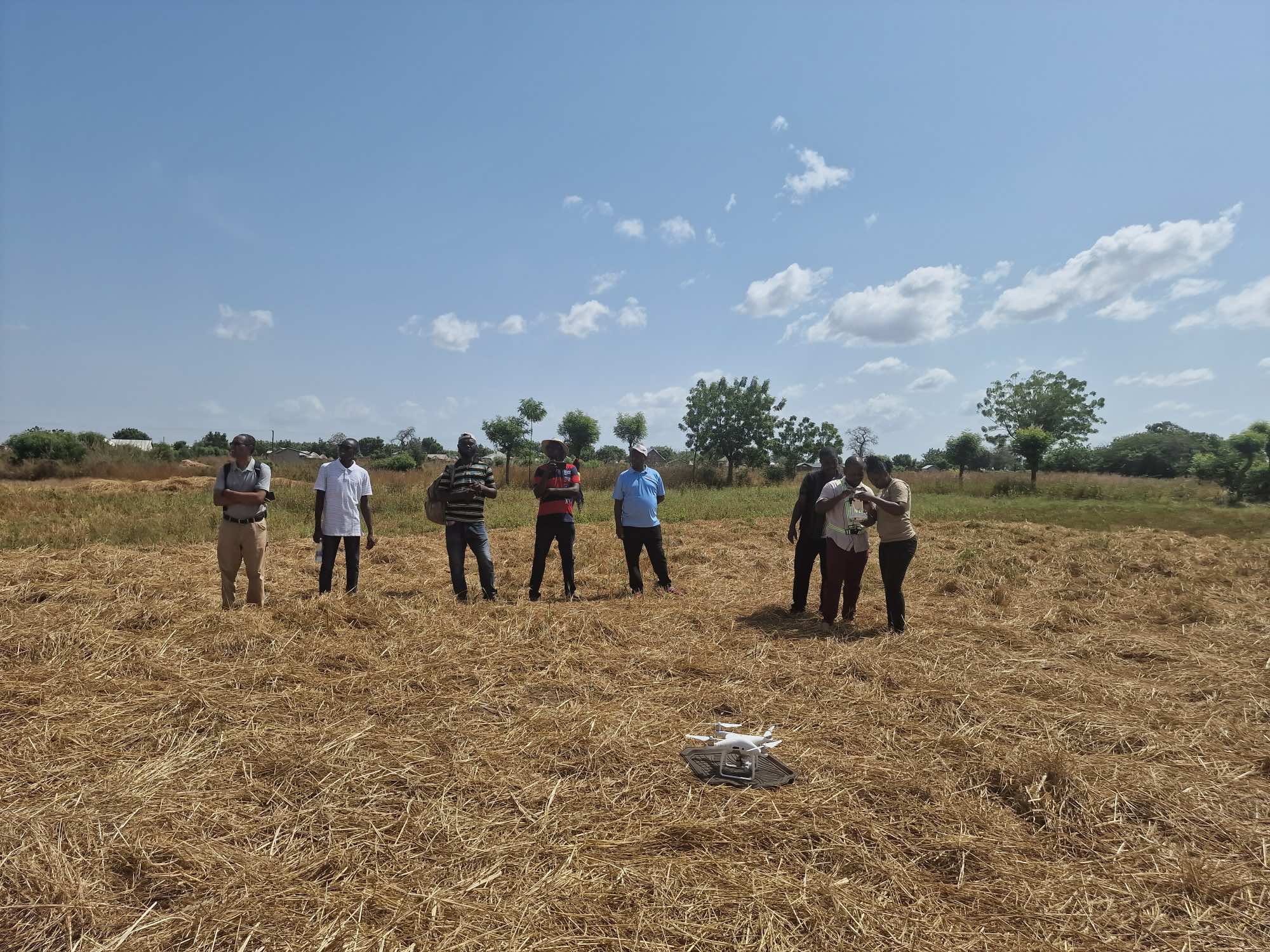
The project ‘Resilient Agri-Food Systems: Sustainable Intensification of Mixed Farming Systems’ deals with soil degradation in northern Ghana, focusing on mixed grain farming. While land degradation is a global problem with economic and ecological consequences, its effects are felt most acutely at the local level. In Ghana, the annual costs are estimated at 1.4 billion US dollars, which is 6% of the gross domestic product. Previous research has only provided a rough spatial resolution and is therefore unable to capture small-scale changes in a highly fragmented system. The project aims to close this gap by assessing the current state and trends, thereby contributing to the achievement of UN Sustainable Development Goals 1, 2 and 15.
This project was funded by the International Institute of Tropical Agriculture (IITA)
SnowAI
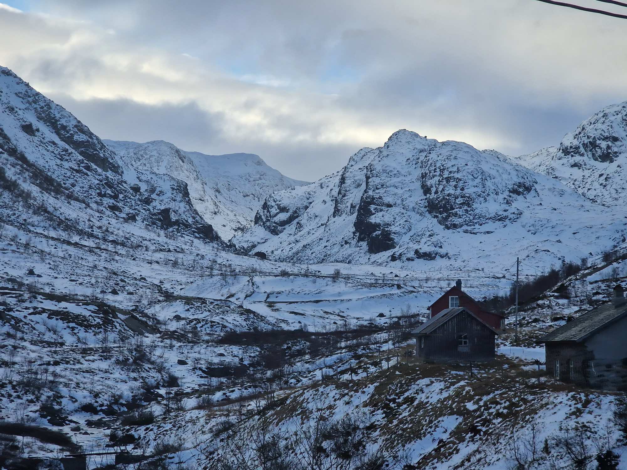
The SnowAI project, led by the University of Bergen, aims to improve the estimation of snow properties in western Norway. Using GeoAI and high-resolution satellite data (SAR and optical satellite images), the project is investigating the effects of snow cover variability on the cryosphere and biosphere.
SeBAS
The aim of SeBAS (Sensing Biodiversity Across Scales) is to improve our mechanistic understanding of the effects of land use on the interaction between biodiversity, ecosystem functions and ecosystem services. To this end, we analyse the relationships between functional and structural diversity, the ecosystem service of forage production, and its temporal variation for three spatial scales (plot, farm, and landscape). We will achieve this by combining plot-based ecological research and remote sensing research on land use intensity and five essential biodiversity variables (EBVs): above-ground biomass (AGB), net primary productivity (ANPP), leaf area index (LAI), plant phenology and functional diversity.
Further information can be found on the project page.
This project was funded by the German Research Foundation (DFG).