Projekt: Urban Climate
Interactions between cities & climate
Cities and climate interact in various ways.On the one hand, cities produce a distinct patchwork of local climates which result from a superposition of the site-specific macroclimate, mesoscale urban effects, controlled by size and morphology of the city, and microscale effects of the altered energy balance. On the other hand cities account for most of the global production and consumption of goods as well as traffic and therefore produce a huge share of the global anthropogenic greenhouse gas emissions. Since geography as a discipline has a long tradition in both, climatology and city research, we intend to integrate both traditional foci in an overall consistent research structure, ultimately targeting at the identification and definition of operational climate mitigation and adaption strategies for urban development perspectives.
Relevance and urban climate risks
Regarding the different interactions, urban areas play a key role for both mitigation and adaption to global climate change. While both aspects cannot be regarded separately, the strong focus of this working group is on the city as a receptor of climate change. This is highly relevant for several reasons. First, most of theworld’s future population that will be prone to climate change induced risks will be living in cities (with rapid urbanisation processes in the countries of the global south, which can be expected to be particularly vulnerable to climate change impact). Further, cities produce specific risks and urban adaption is highly temporally and financially demanding.
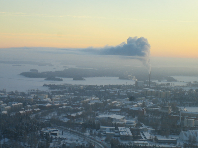
The mayor risks induced by global climate change in urban areas are considered to be overheating and resulting health effects, increased exposition to flood events and damage from extreme weather conditions such as heavy rain- and windstorms. In a wider sense, risks also include shortages in the supply with life-sustaining services including food, water and energy. In this project we focus on the direct bioclimatological risk of overheating.For a profound risk assessment we need extensive knowledge about both, (future) urban climate (exposition) and coping capacity of the whole urban system as well as specific groups within it (vulnerability).
Understanding urban morphology and climate
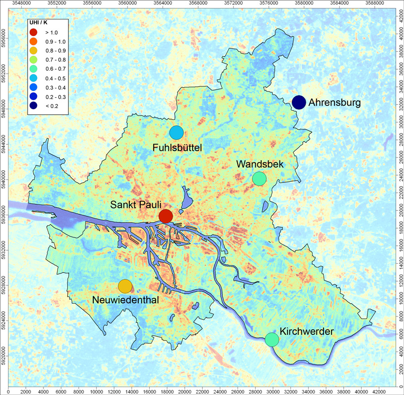
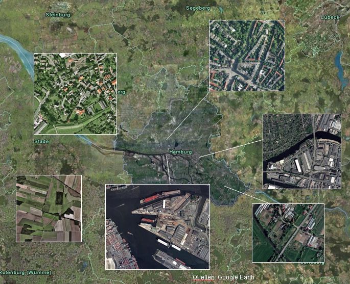
Metropolitan areas are assumed to be sensitive ‘hot spots’ of climate change and climate induced risks due to the distinctive conditions and their direct, often crucial implications for human health and comfort, consumer behavior and local economy. Urban climates, however, are characterized by an enormous heterogeneity due to different land-use and morphology and thus demand a sufficient spatial representation of atmosphere-surface interactions and morphologic settings in climate change impact assessment studies.
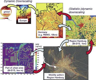
The tremendous spatiotemporal diversity of climatic settings in cities is not sufficiently understood yet. Since available climate data from observation mostly lack spatial coverage and resolution and coverage of numerical models are restricted by the computing power and urban canopy processes are usually greatly simplified, there is a lack of information about different urban climates at scales required for planning purposes and climate change impact assessments in the Metropolitan Region of Hamburg.
Therefore both, extrapolation from local observations and climate modelling in urban areas have to be improved in order to fill the gap between regional climate models and in situ measurements. Furthermore, a dynamic concept of urban land use must be developed in order to incorporate the rapid change of urban areas in climate modelling.
Although the Metropolitan Region of Hamburg might not be facing the most severe problems in terms of overheating, we consider it as a test case to develop new modelling approaches.
Team
Prof. Dr. Jürgen Oßenbrügge
Prof. Dr. Jürgen Böhner
Dr. Benjamin Bechtel

